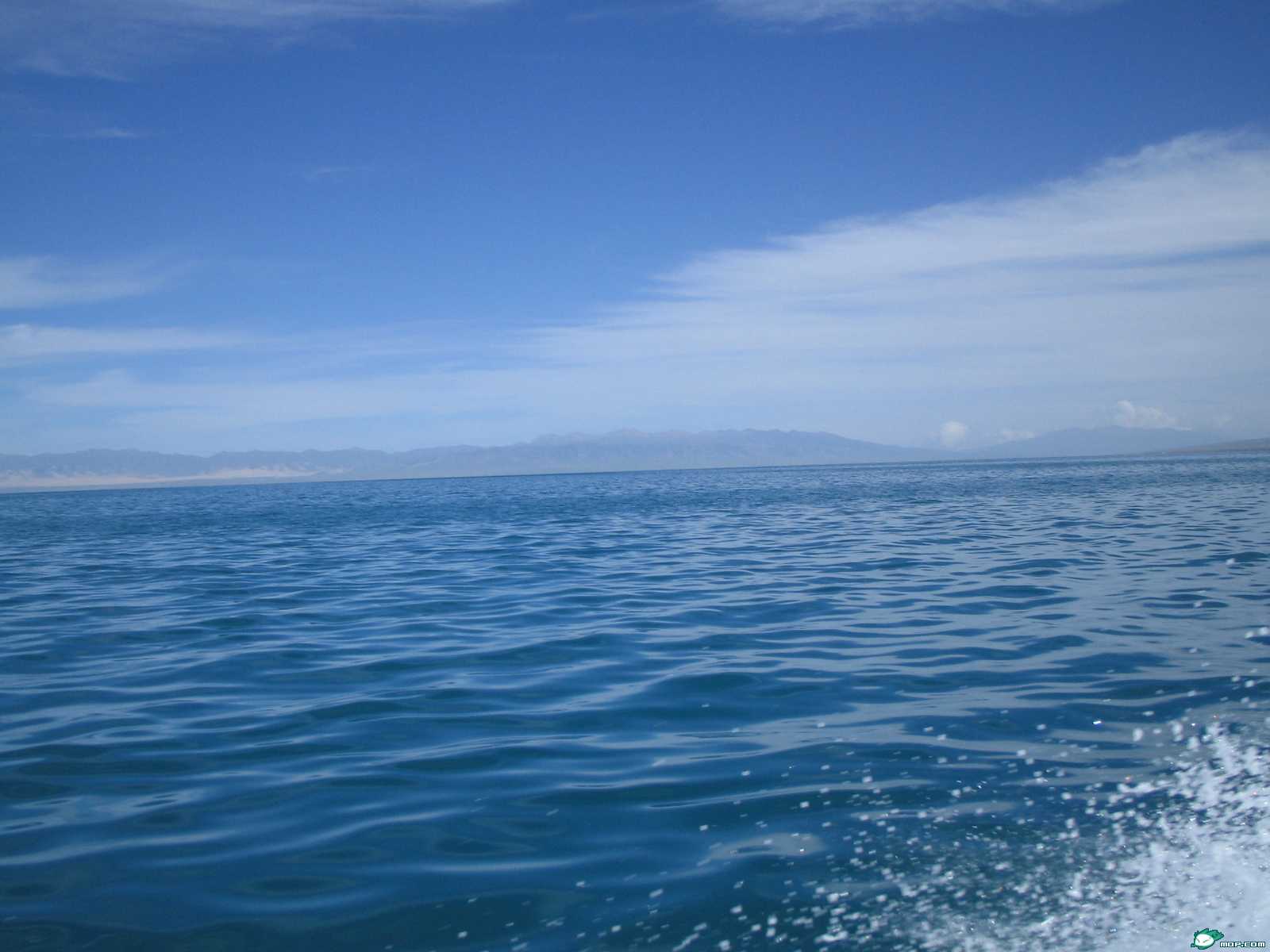
Lake Qinghai in Qinghai province
Lake Qinghai, the largest lake in China, is located in the northeast of the
Qinghai-Tibet
Plateau, bordering between the Tibetan Autonomous Prefecture of Haibei and the
Tibetan Au-
tonomous Prefecture of Hainan, at 36~ 15' to 38~ 2ff N and 97~ 50' to 101~ 20'
E. To the lake's
west are the Naheduo Mountain and the drainage area of the Hala River; to its
northwest are
Mount Shaguolingnamujimu and the drainage area of the Shule River; to its north
the Daban
Mountain separates it from the drainage area of the Datong River: to its southeast
stand the
Yeniu Mountain, the Waligong Mountain and the Jiala Mountain and to its south
are the
Qinghainan Mountains, the Guide Basin and the Gonghe Basin, which belong to
the drainage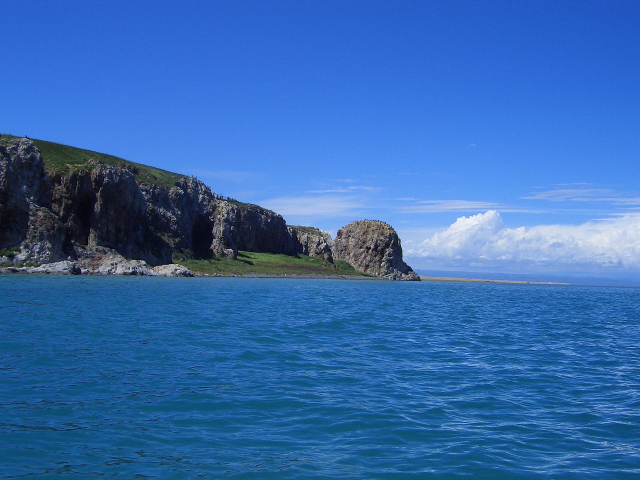
area of the Huanghe River. The drainage area of Lake Qinghai has a total area
of 29 661 square kilometer, with a elevation of 3 196 to 5 714m above sea level,
covering 4 counties, 29 townships Lake Qinghai lies in the lowest part in the
southeast of its drainage area, . The lakes is in the shape of a pear, about
109 km long (E-W) and 651~m wide (N-S), with a circumerence of 360 km. Its water level was at 3 195.59m above sea level in
1988, with a water surface area of l,304.5 km2 and a pondage of 73.88 billion
m3. Its average depth is 16m, the maximum at 27m. To the east of Lake Qinghai
three lagoons lie from the north to the south: Lake Gahai, Lake Xingahai and
Lake Erhai, of which Lake Gahai is the largest, which has an area of 48km2and
in which are two small islands: M. Haixin and
Sankuaishi (Solitarily Trusting Mountain). Lake Qinghai is a neotectonic fault
lake.
2. Landform and topography The drainage area of Lake Qinghai dips from the northwest
to the southeast. It is a closed basin surrounded by mountains, in the shape
of a quadrilateral, wide in the east and narrow in the west. Mountainous areas
amount to about 68.6%0 of the total area while plains amount to 31.4% (including
Lake Qinghai), which are of planation plains of three grades --respectively
at 4 200 to 4 600m, 3 800 to 4 000m and 3 500 to 3 600m above sea level. The
area has various landforms from low altitude to high altitude: lakeside plain,
alluvial plain, low hills, medium and high mountains, periglacial platform and
modern glacier. There is a vast stretch of place piled with sand to the north
and east of the lake, in which are sandlots, moving sand dunes, half-moving
and stable sand dunes. There are marshes by the lakeside and in lowlying places.
Related books